
FR · EN
21.167 N · 17.048 W
Northern cliffs
Rocky point with a sandy cove to the south, the same layout as Cap Blanc. In big swell, the whitewater wraps around the point.
Rocky point with a sandy cove to the south, the same layout as Cap Blanc. In big swell, the whitewater wraps around the point.
Atlantic side of the peninsula, Western Sahara side: military zone, access by permit only, mines reported.
To explore: a lead on the satellite imagery that nobody has surfed yet as far as we know. If you go, tell us.
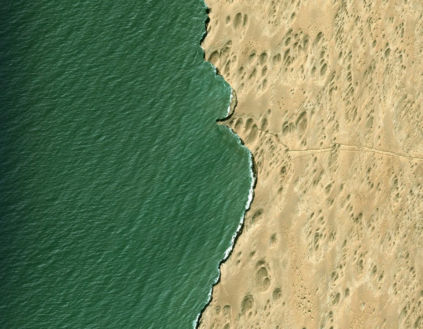
Each archive year brings together images taken on different dates depending on the place: they do not all show the same swell.