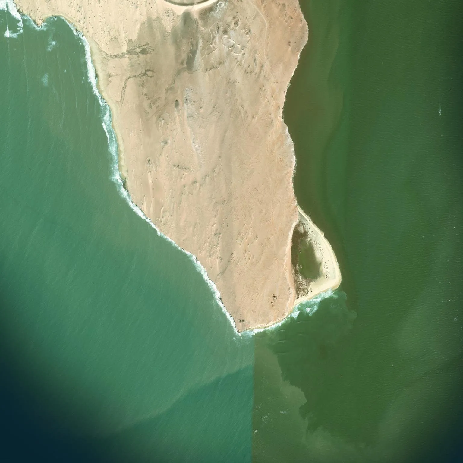
Cap Blanc
Right-hand point break over sand, about 700 m long, at the tip of the peninsula.

Right-hand point breaks over sand, and hardly anyone out.
Right-hand point break over sand, about 700 m long, at the tip of the peninsula.
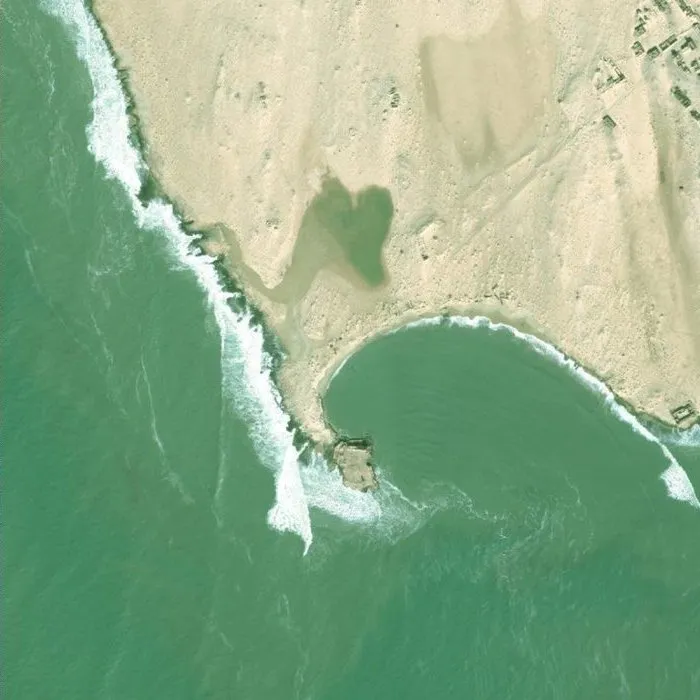
Right-hander below the old fort. Military zone, access by permit only, mines reported.
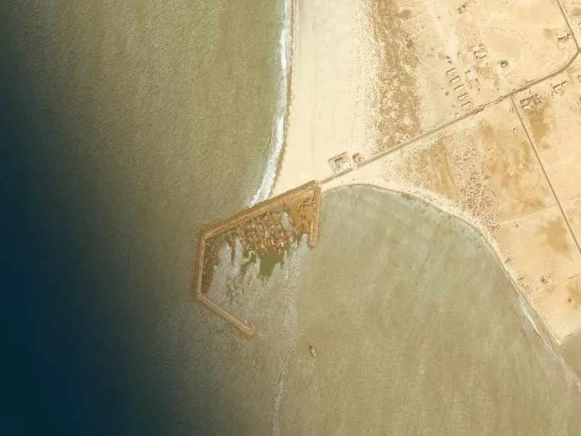
A wave created by the fishing port in 2018, confirmed on eight years of satellite imagery.
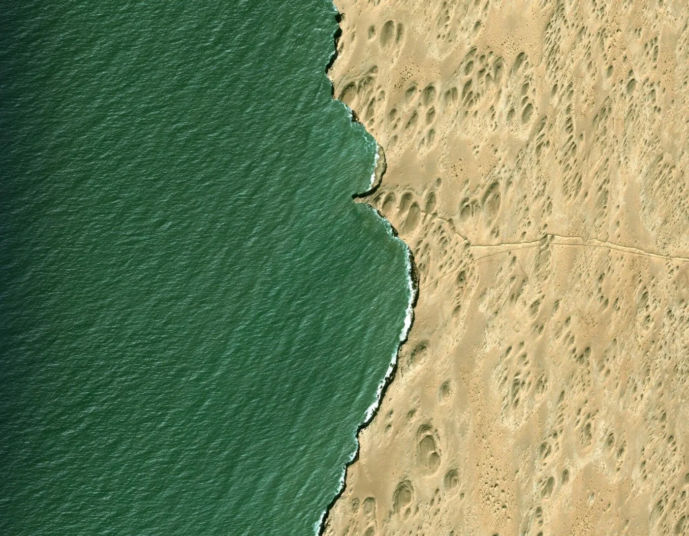
Rocky point and sandy cove. Seen on the imagery, never surfed as far as we know.
The track isn't marked after Cansado. We pick you up in Nouadhibou in a 4x4, cross the SNIM mining zone and the railway, follow the coast to the lighthouse, and pick the moment by swell, wind and tide.