
FR · EN
20.772 N · 17.050 W
Cap Blanc
Right-hand point break over sand, about 700 m long, at the tip of the peninsula. Inside the Cap Blanc park, entry fee.
Right-hand point break over sand, about 700 m long, at the tip of the peninsula. Inside the Cap Blanc park, entry fee.
Confirmed: the wave shows up in the same place over several years of satellite images, in big swell. That tells us it works, not yet how good it is at the peak.
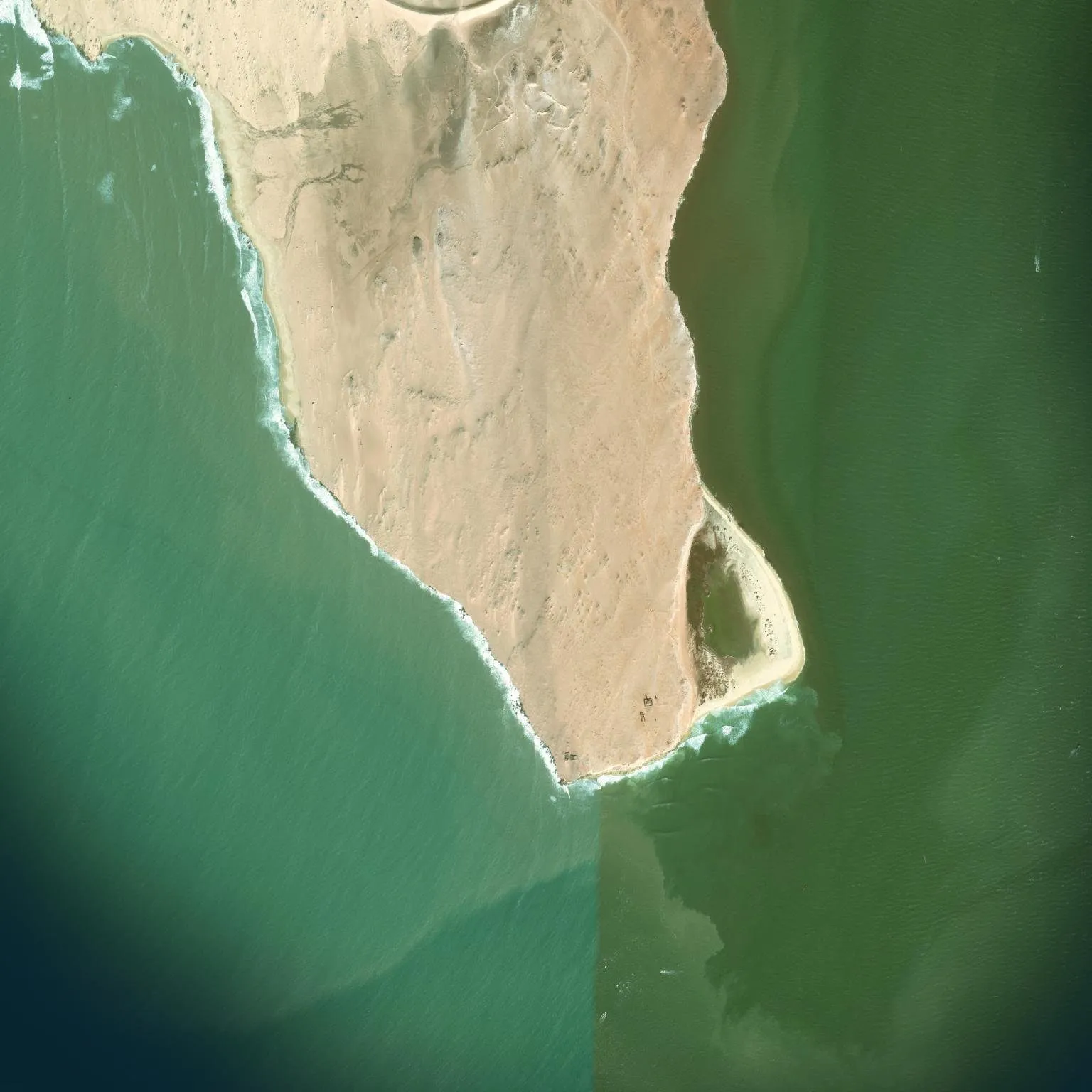
Each archive year brings together images taken on different dates depending on the place: they do not all show the same swell.